Our site is at high altitude with a base elevation of 7,600’. Your parachute will not work as well at this altitude as it does way down in places like Denver (let that sink in….). Our club strongly recommends that you consider up-sizing your chutes.
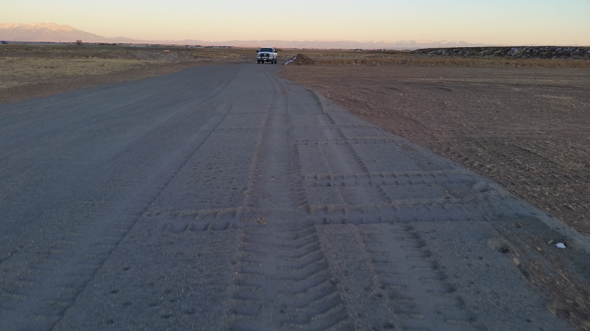
Our site is located on the private property of Southway Construction. There is an active gravel pit adjacent to our launch area. You may hike into the pit for rocket recovery, but please stay off the stacked aggregates and machinery.
We are bordered by active farms on all sides. The surrounding landowners are sympathetic to our activities because of the good our program does for the local youth and because we are courteous neighbors. If you must cross a fence, do so in a respectful and non-damaging way. Collect your rocket, and get right back off the farm. Be polite, do no harm, and leave no trace.

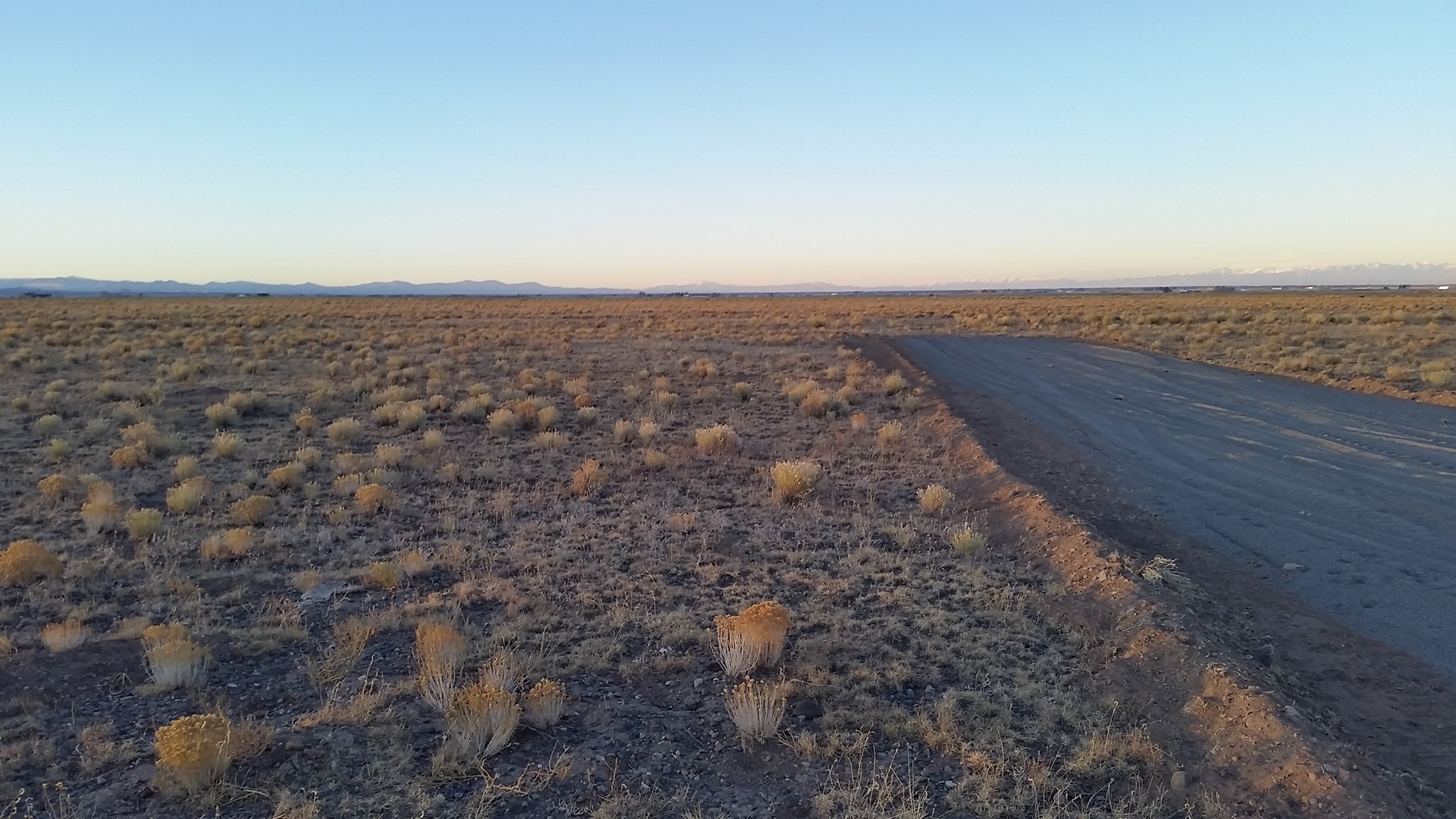
The topography is flat. The ground cover is low. Remember to pick a point on the horizon when your rocket lands. Even in low cover, rockets can hide.
Camping & Survival
BRING LOTS OF SUNBLOCK. BRING LOTS OF WATER. EXPECT VERY THIN AIR. DRESS IN LAYERS. WEAR A HAT. At 7600’, your skin burns faster than you can imagine, oxygen is in short supply, and dehydration comes upon you quickly. If you get short of water, vendors will have some on site for purchase. Stake EVERYTHING down. If you feel dizzy or winded, feel free to stop by registration and/or hospitality for some water and to catch your breath.
Please set up camp in designated areas.
Sturdy, high-top shoes or boots are your best bet. Sandals are a terrible idea.
Weather Conditions
The San Luis Valley of Colorado is the world’s largest subalpine valley. It has many desert features. Conditions change fast and can be harsh. You can stub your toe on a cactus, but expect freezing temperatures at night. Expect wind mid-day. There is generally less wind in the morning and evening.